HIKING

Grazalema
5 Hours
11 Kilometers
357 M
Zahara de la Sierra
4 Hours
5 Kilometers
345 M
Benaocaz
4 Hours
7 Kilometers
210 M
Villaluenga del R.
3 Hours 30 Min
10 Kilometers
405 M
Grazalema
3 Hours
6 Kilometers
220 M
El Bosque
4 Hours
9 Kilometers
357 M
Grazalema
3 Hours
8 Kilometers
405 M
Grazalema
3 Hours 30 Min
6 km
783 M
VILLAMARTÍN
3 Hours
4 Kilometers
23 M

Hiking details

Pinsapar

Grazalema
5 Hours
11 Kilometers
357 M

This path delights us with the forest of pinsapos, unique fir that led to the declaration of these mountains as a Biosphere Reserve and Natural Park. The path begins to ascend between pines until you reach Puerto de las Cumbres, a natural pass to the north face of this mountain range. You can also see El Torreón, the highest peak in the province of Cádiz, and some fir trees that announce the proximity of the forest. As we enter the Spanish fir forest, the little light that penetrates the forest will draw our attention. El pinsapar is a vestige of distant times, a botanical jewel restricted to a very small distribution area.

GARGANTA VERDE

ZAHARA
4 Hours
5 Kilometers
345 M

This narrow canyon is one of the most impressive natural frameworks in the whole region and it is a true paradise for birdwatching. Interesting observations of geological and botanical character can also be made. We start the route at the upper side of the valley in a Mediterranean forest of wild olive trees, mastic and broom.  As we descend into the gorge, we can enjoy the sight of forest birds, raptors and rocky birds that colonise the cliffs. After a descent of more than 300 meters, we reach the riverbed of Bocaleones, the river that has shaped this spectacular gorge. At the end, a large cave whose roof is full of stalactites of pink and green tones awaits us.

SALTO DEL CABRERO

BENAOCAZ
4 Hours
7 Kilometers
210 M

This route gives you a magnificent example of karst landscape in which we can enjoy geological wonders such as the fault that gives the route its name, the lapies that lead to it or the cliffs that give shelter to many birds. We start walking on a rocky path through a Mediterranean forest, where we could observe multitude of birds. While ascending to the lapies, waking close to the cliffs, we could appreciate many raptors and rocky birds.

Finally we cross a plateau and we descend to an spectacular viewpoint over the fault which gives name to this route.

LLANOS DEL REPUBLICANO

VILLALUENGA
3 Hours 30Min
10 Kilometers
405 M

This trail offers us incredible and unusual landscapes. Along the route we can take advantage of a great variety of ecosystems. We start our descent into the plains through a Mediterranean forest of cork oaks, Portuguese oaks and holm oaks that shelters numerous forest birds.

Once we arrive onto the plains (actually it is a polje) we find several stationary river courses whichflow together and vanish in a pit cave, making this site a terrific emplacement for geology lovers. Around us, the steep walls that enclose the valley offer us the possibility of observing a multitude of birds of prey and rocky birds.

2223259Master

LLANOS DEL RABEL

GRAZALEMA
3 Hours
6 Kilometers
220 M

This is a very comfortable and easy path which goes into the protected area of Sierra de Grazalema, which makes it an ideal walk for the family. The route runs through a forest of Spanish fir, on a road densely populated with Mediterranean vegetation that shelters a wide variety of fauna. In the background you can see the silhouette of El Torreón, the highest mountain of Cádiz, and even higher, the flight of the vultures. The true protagonist of this trail is the Spanish fir, one of the nine species of fir trees that surround the Mediterranean and that only lives naturally in three mountain ranges of Andalusia.

RÍO MAJACEITE

EL BOSQUE
4 Hours
9 Kilometers
357 M

The route runs parallel to Majaceite River and connects the villages of Banamahoma and El Bosque. This river offers a magnificent gallery forest, a vegetable tunnel of great beauty and freshness. Poplars, willows, oleanders and honeysuckle among others, grow so tight that they make the banks of the river impenetrable, providing a safe shelter to the abundant fauna that lives here. Along the way it is also possible to see large numbers of birds. The ease of its route and the beautiful landscape make an ideal walk for the family.

SIERRA DEL ENDRINAL

GRAZALEMA
3 Hours
8 Kilometers
405 M

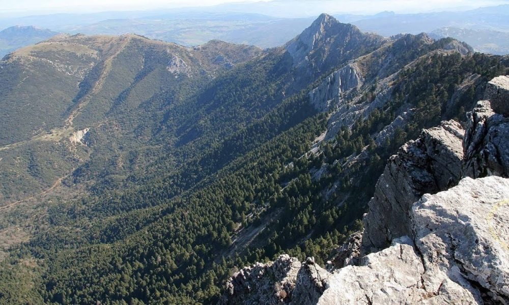
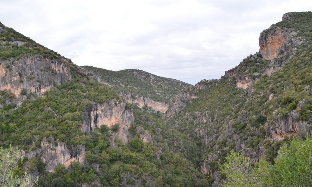
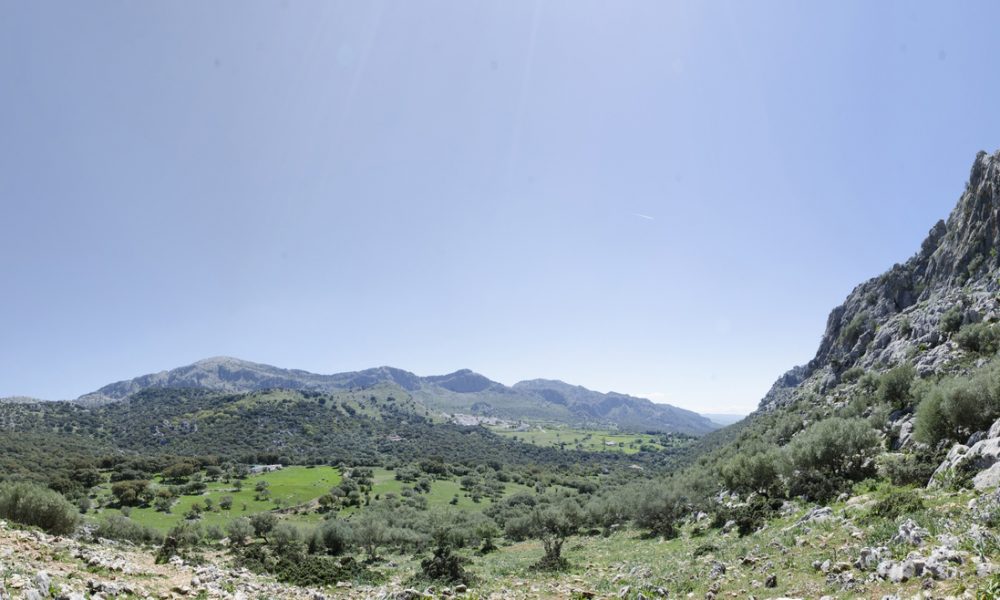
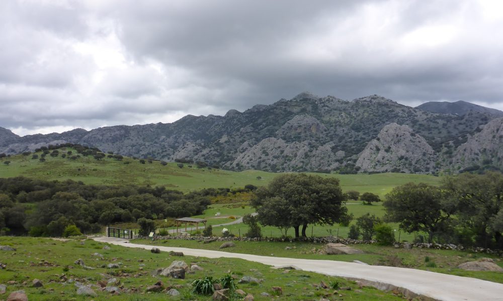
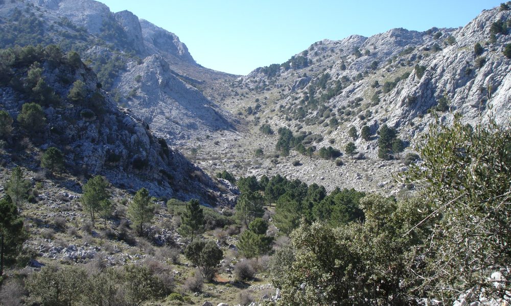
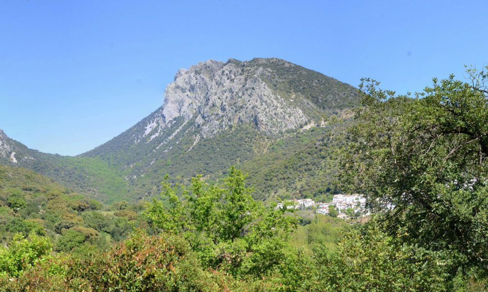
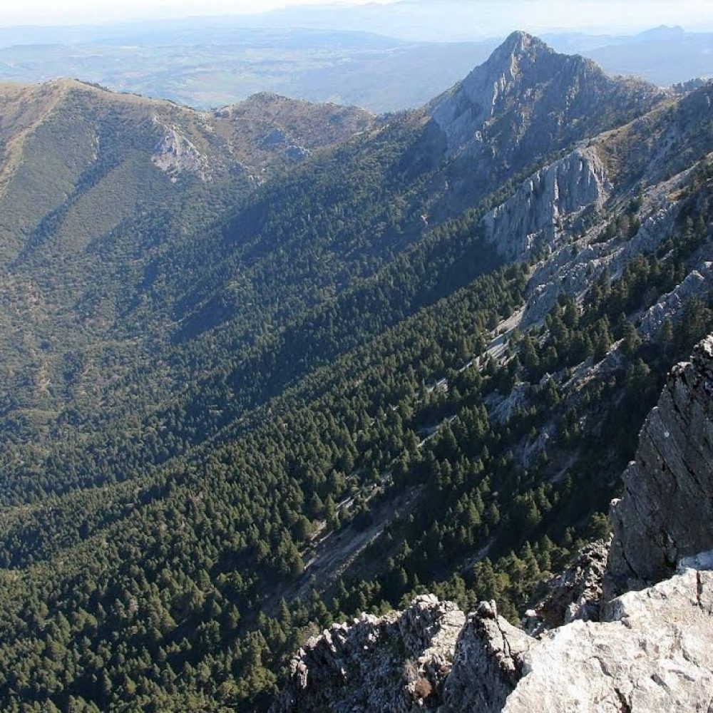
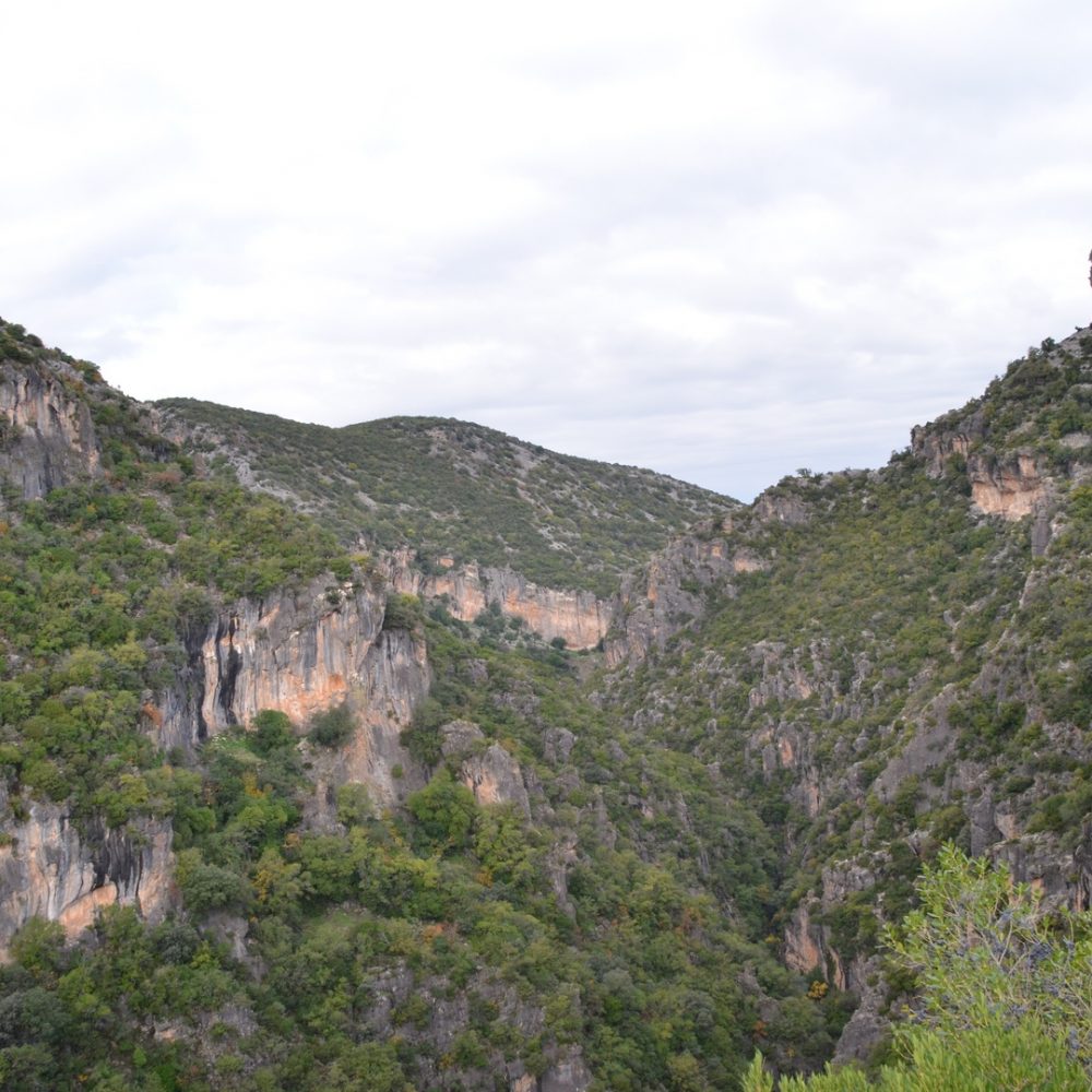
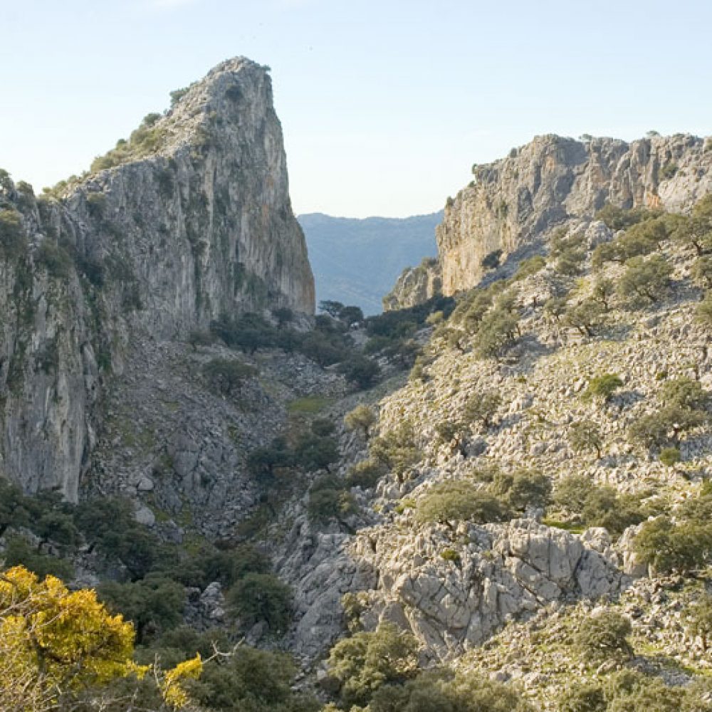
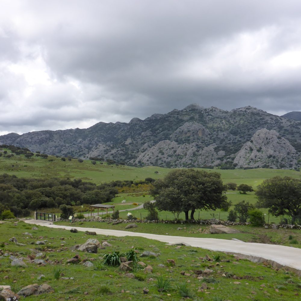
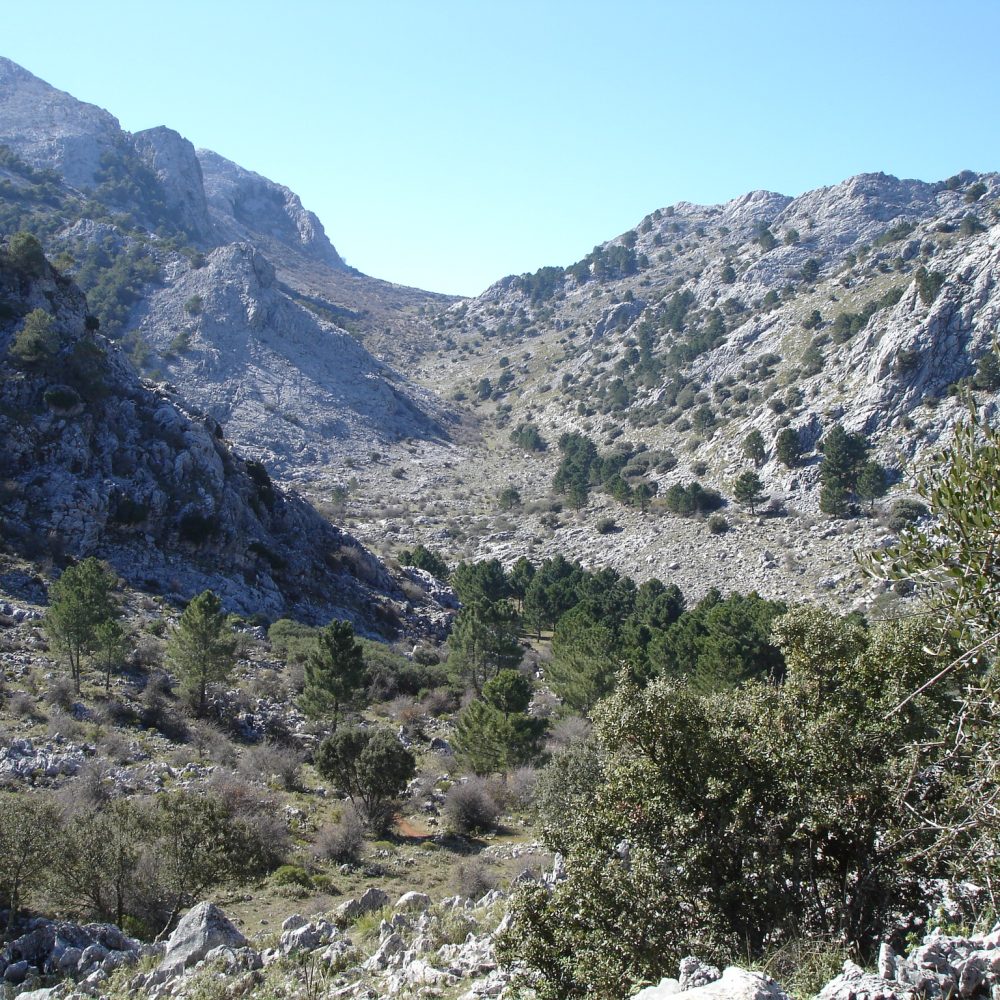
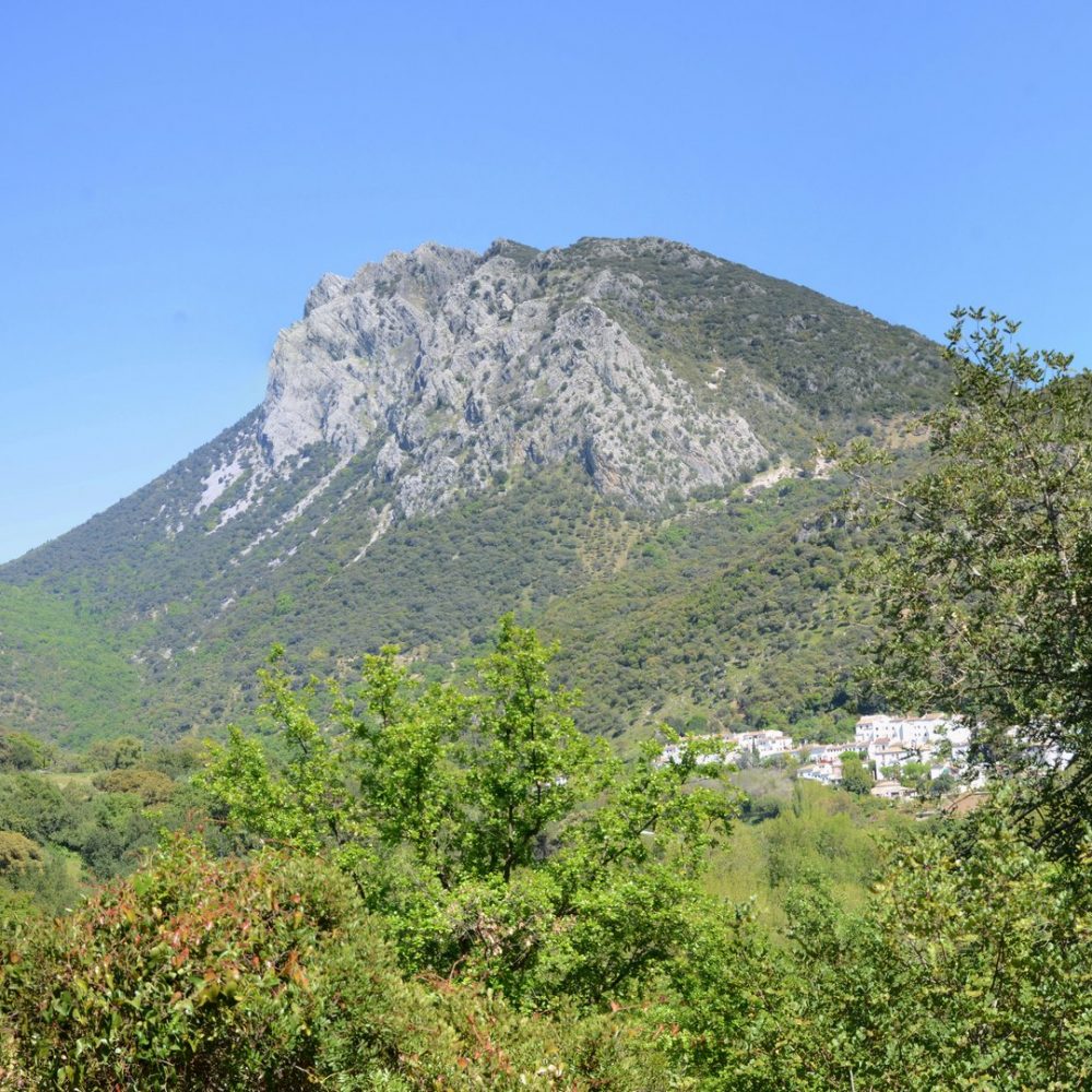
This path takes us to the heart of Sierra del Endrinal, allowing us to see a great representation of curious formations, created by the dissolution of the limestone, typical of the landscapes of Sierra de Grazalema Natural Park. The Endrinal Plain is a closed and lengthened depression of the terrain, a small polje located at about 1,100 meters of altitude. Among the rocks, not only we can observe a sample of the flora of this natural park, but also one of the most emblematic animals that inhabit the mountain range, the Spanish ibex, as well as a multitude of birds. Besides, from the high areas you get excellent views of significant peaks of this mountain range.

EL TORREÓN

GRAZALEMA
3 Hours 30Min
6 Kilometers
783 M

This route takes you straight to Sierra de Cadiz highest summit, El Torreón. We start the climb ascending through an undergrouth of myrtle, mastic and juniper trees. Further up, we reach a magnificent Mediterranean forest of twisted holm oak trees, carob trees and some Spanish firs rising up from the broom. The rocks and cliffs here are the home to botanical marvels such as Cistus albidus and the Grazalema poppy. We pass several dolines and continue to climb over rocky terrain. When we reach the summit of El Torreón we are rewarded with a stunning view of the surrounding area.

COLA DE BORNOS

VILLAMARTÍN
3 Hours
4 Kilometers
23 M

Cola de Bornos is a wetland of great ecological value at the base of Sierra de Cadiz. We start the route walking alongside a unique tamarix forest, which follows the shore of Guadalete river, providing shelter and a great nesting spot to an important colony of herons. On one side we have the wetland, while on the other we have olive groves and countryside. At the end of the path we will find a promontory from which we have a full view of the wetland and the reservoir.

Close Menu